
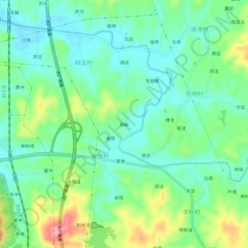
杨畈 topographic map
Interactive map
Click on the map to display elevation.
About this map
Name: 杨畈 topographic map, elevation, terrain.
Location: 杨畈, 新县, 息县, 信阳市, 河南省, 中国 (31.70280 114.88588 31.74280 114.92588)
Average elevation: 101 m
Minimum elevation: 66 m
Maximum elevation: 180 m
Other topographic maps
Click on a map to view its topography, its elevation and its terrain.