Geolocate

Um al-Baidh topographic map

Interactive map

Click on the map to display elevation.

About this map

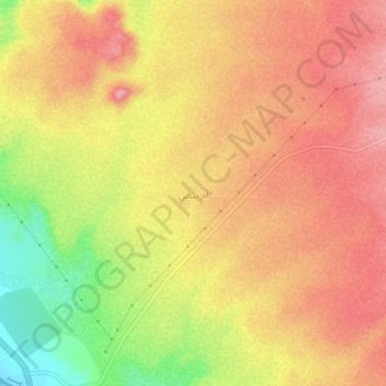
Name: Um al-Baidh topographic map, elevation, terrain.

Location: Um al-Baidh, محافظة البرك, Asir, Arabie saoudite (18.22384 41.53379 18.26384 41.57379)

Average elevation: 88 m

Minimum elevation: 0 m

Maximum elevation: 140 m

Other topographic maps

Click on a map to view its topography, its elevation and its terrain.

محافظة البرك

Arabie saoudite > Asir

محافظة البرك, Asir, Arabie saoudite

Average elevation: 186 m

Al Hajir

Arabie saoudite > Asir

Al Hajir, محافظة ظهران الجنوب, Asir, Arabie saoudite

Average elevation: 2,084 m

جرجرة

Arabie saoudite > Asir

جرجرة, محافظة محايل, Asir, Arabie saoudite

Average elevation: 1,531 m

Yala

Arabie saoudite > Asir

Yala, محافظة بيشه, Asir, Arabie saoudite

Average elevation: 1,292 m