
Galo topographic map
Interactive map
Click on the map to display elevation.
About this map
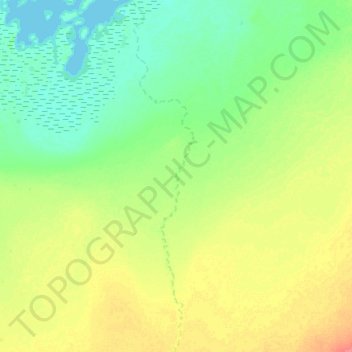
Name: Galo topographic map, elevation, terrain.
Location: Galo, Batha, Chad (12.44146 17.59786 12.73441 17.65021)
Average elevation: 304 m
Minimum elevation: 286 m
Maximum elevation: 336 m
Other topographic maps
Click on a map to view its topography, its elevation and its terrain.