
Make a donation
Gear up for your next adventure:
As an Amazon Associate, this site earns from qualifying purchases at no extra cost to you.
Traverse Bay topographic map
Click on the map to display elevation.
Make a donation
Gear up for your next adventure:
As an Amazon Associate, this site earns from qualifying purchases at no extra cost to you.
About this map
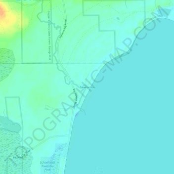
Name: Traverse Bay topographic map, elevation, terrain.
Average elevation: 182 m
Minimum elevation: 176 m
Maximum elevation: 210 m
Make a donation
Gear up for your next adventure:
As an Amazon Associate, this site earns from qualifying purchases at no extra cost to you.
Other topographic maps
Click on a map to view its topography, its elevation and its terrain.
Calumet
United States > Michigan > Houghton County
Calumet is at an elevation of 1,209 feet (369 m) above sea level. The village of Calumet sits on 2,000 miles (3,200 km) of underground mine shafts, drifts and stopes, empty for many decades. Large portions of the Keweenaw National Historical Park are located inside the village limits, mostly covering the…
Average elevation: 369 m
Make a donation
Gear up for your next adventure:
As an Amazon Associate, this site earns from qualifying purchases at no extra cost to you.
Make a donation
Gear up for your next adventure:
As an Amazon Associate, this site earns from qualifying purchases at no extra cost to you.