
Қожақорған topographic map
Interactive map
Click on the map to display elevation.
About this map
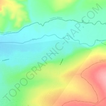
Name: Қожақорған topographic map, elevation, terrain.
Location: Қожақорған, Sayram District, Turkistan Region, Kazakhstan (42.55239 69.77232 42.59239 69.81232)
Average elevation: 461 m
Minimum elevation: 417 m
Maximum elevation: 537 m
Other topographic maps
Click on a map to view its topography, its elevation and its terrain.