
Қасымбек датқа topographic map
Interactive map
Click on the map to display elevation.
About this map
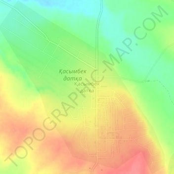
Name: Қасымбек датқа topographic map, elevation, terrain.
Location: Қасымбек датқа, Sayram District, Turkistan Region, Kazakhstan (42.47103 69.61234 42.49838 69.64776)
Average elevation: 464 m
Minimum elevation: 428 m
Maximum elevation: 499 m
Other topographic maps
Click on a map to view its topography, its elevation and its terrain.