Geolocate

Frogmore topographic map

Click on the map to display elevation.

About this map

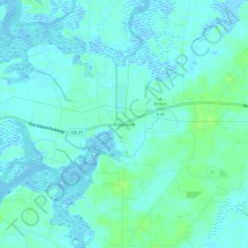
Name: Frogmore topographic map, elevation, terrain.

Location: Frogmore, Beaufort County, South Carolina, 29920, United States (32.37686 -80.59622 32.41686 -80.55622)

Average elevation: 3 m

Minimum elevation: -2 m

Maximum elevation: 9 m

Other topographic maps

Click on a map to view its topography, its elevation and its terrain.

Gear up for your next adventure:

🧣Neck Gaiters - Protects against wind and sun on exposed ridges and peaks
🧴Sport Sunscreen Sticks - High-protection sunblock that won't run into your eyes on the trail
🌄Compact Monoculars - Lightweight optics for hiking
📷Camera Straps - Secure straps for carrying cameras while walking
🧭Emergency Beacons - Safety beacons for remote outdoor locations

As an Amazon Associate, this site earns from qualifying purchases at no extra cost to you.