
Keewatin Region topographic map
Interactive map
Click on the map to display elevation.
About this map
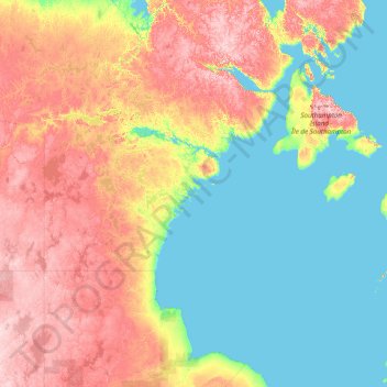
Name: Keewatin Region topographic map, elevation, terrain.
Location: Keewatin Region, Nunavut, X0C 0J0, Canadá (56.92519 -105.01764 67.00000 -80.02077)
Average elevation: 134 m
Minimum elevation: -1 m
Maximum elevation: 619 m
Other topographic maps
Click on a map to view its topography, its elevation and its terrain.