Geolocate

D'Hanis topographic map

Click on the map to display elevation.

D'Hanis

D'Hanis is at an elevation of 883 feet (269 m) above sea level.

Wikipedia (CC-BY-SA 3.0)

About this map

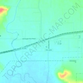
Name: D'Hanis topographic map, elevation, terrain.

Location: D'Hanis, Medina County, Texas, 78850, United States (29.31051 -99.29976 29.35051 -99.25976)

Average elevation: 273 m

Minimum elevation: 262 m

Maximum elevation: 320 m

Other topographic maps

Click on a map to view its topography, its elevation and its terrain.

Devine

United States > Texas > Medina County

Average elevation: 204 m

Castroville

United States > Texas > Medina County

Average elevation: 249 m

Castroville

United States > Texas > Medina County

Average elevation: 249 m

La Coste

United States > Texas > Medina County

Average elevation: 222 m

Gear up for your next adventure:

🥤Hiking Water Bottles - Reusable bottles for hydration on the trail
👖Convertible Hiking Trousers - Versatile zip-off pants for changing mountain weather conditions
📷Outdoor Action Cameras - Cameras designed for hiking and adventure
🛰️Outdoor GPS Navigation - Navigation devices for remote and off-grid areas
👟Waterproof Leg Gaiters - Keep mud and water out of your boots in boggy terrain

As an Amazon Associate, this site earns from qualifying purchases at no extra cost to you.