
Rose Belle topographic map
Interactive map
Click on the map to display elevation.
About this map
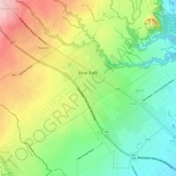
Name: Rose Belle topographic map, elevation, terrain.
Location: Rose Belle, Grand Port, 51802, Mauritius (-20.42509 57.56729 -20.39031 57.62345)
Average elevation: 262 m
Minimum elevation: 161 m
Maximum elevation: 400 m
Other topographic maps
Click on a map to view its topography, its elevation and its terrain.