
Emstrur topographic map
Interactive map
Click on the map to display elevation.
About this map
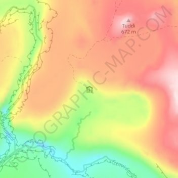
Name: Emstrur topographic map, elevation, terrain.
Location: Emstrur, Laugavegur, Rangárþing eystra, Suðurland, Islande (63.76608 -19.37369 63.76617 -19.37348)
Average elevation: 512 m
Minimum elevation: 336 m
Maximum elevation: 665 m
Other topographic maps
Click on a map to view its topography, its elevation and its terrain.