
Skógar topographic map
Interactive map
Click on the map to display elevation.
About this map
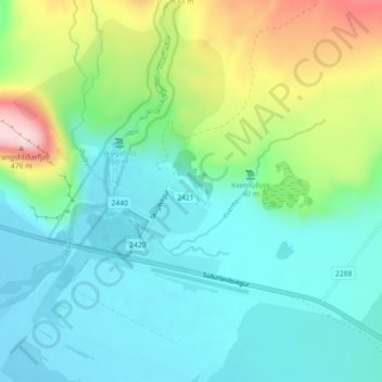
Name: Skógar topographic map, elevation, terrain.
Location: Skógar, Rangárþing eystra, Suðurland, Islande (63.50695 -19.51443 63.54695 -19.47443)
Average elevation: 126 m
Minimum elevation: 16 m
Maximum elevation: 459 m
Other topographic maps
Click on a map to view its topography, its elevation and its terrain.