
红山区 topographic map
Interactive map
Click on the map to display elevation.
About this map
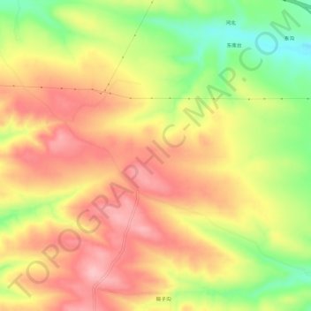
Name: 红山区 topographic map, elevation, terrain.
Location: 红山区, 赤峰市, 内蒙古自治区, 中国 (42.16939 118.96474 42.20939 119.00474)
Average elevation: 685 m
Minimum elevation: 597 m
Maximum elevation: 750 m
Other topographic maps
Click on a map to view its topography, its elevation and its terrain.