
Hidden Falls Adventure Park topographic map
Interactive map
Click on the map to display elevation.
About this map
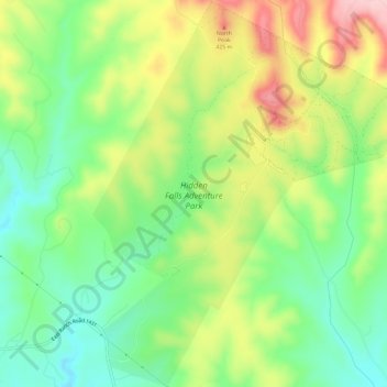
Name: Hidden Falls Adventure Park topographic map, elevation, terrain.
Average elevation: 329 m
Minimum elevation: 248 m
Maximum elevation: 447 m
Other topographic maps
Click on a map to view its topography, its elevation and its terrain.
Silver Creek Village
United States > Texas > Burnet County > Silver Creek Village
Average elevation: 347 m
Marble Falls
United States > Texas > Burnet County > Marble Falls > Marble Falls
Average elevation: 261 m