
Hadjer Arial topographic map
Interactive map
Click on the map to display elevation.
About this map
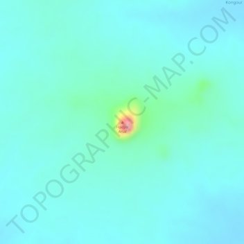
Name: Hadjer Arial topographic map, elevation, terrain.
Location: Hadjer Arial, Ouaddaï, Chad (13.28839 21.19420 13.28849 21.19430)
Average elevation: 609 m
Minimum elevation: 588 m
Maximum elevation: 720 m
Other topographic maps
Click on a map to view its topography, its elevation and its terrain.