
Bentley topographic map
Interactive map
Click on the map to display elevation.
About this map
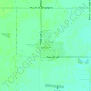
Name: Bentley topographic map, elevation, terrain.
Location: Bentley, Sedgwick County, Kansas, United States (37.88231 -97.52400 37.89115 -97.50966)
Average elevation: 424 m
Minimum elevation: 419 m
Maximum elevation: 427 m
Other topographic maps
Click on a map to view its topography, its elevation and its terrain.
Haysville
United States > Kansas > Sedgwick County
Haysville, Sedgwick County, Kansas, United States
Average elevation: 388 m
Wichita
United States > Kansas > Sedgwick County
Wichita, Sedgwick County, Kansas, United States
Average elevation: 408 m
Wichita
United States > Kansas > Sedgwick County > Wichita
Wichita, Sedgwick County, Kansas, 67202, United States
Average elevation: 410 m
Derby
United States > Kansas > Sedgwick County > Derby
Derby, Sedgwick County, Kansas, United States
Average elevation: 392 m