
Muyuka topographic map
Click on the map to display elevation.
About this map
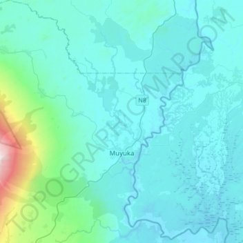
Name: Muyuka topographic map, elevation, terrain.
Location: Muyuka, Fako, Southwest, Cameroon (4.18364 9.21021 4.46054 9.47825)
Average elevation: 173 m
Minimum elevation: 1 m
Maximum elevation: 1,826 m
Other topographic maps
Click on a map to view its topography, its elevation and its terrain.