
Nong Bon topographic map
Interactive map
Click on the map to display elevation.
About this map
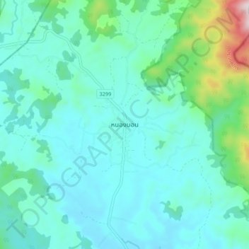
Name: Nong Bon topographic map, elevation, terrain.
Location: Nong Bon, Trat Province, Thailand (12.64210 102.42112 12.72210 102.50112)
Average elevation: 166 m
Minimum elevation: 45 m
Maximum elevation: 790 m
Other topographic maps
Click on a map to view its topography, its elevation and its terrain.