
Trat topographic map
Interactive map
Click on the map to display elevation.
About this map
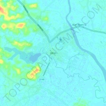
Name: Trat topographic map, elevation, terrain.
Location: Trat, Nong Samet, Trat Province, Thailand (12.20406 102.47228 12.28406 102.55228)
Average elevation: 6 m
Minimum elevation: -1 m
Maximum elevation: 43 m
Other topographic maps
Click on a map to view its topography, its elevation and its terrain.