
Rowley Island topographic map
Interactive map
Click on the map to display elevation.
About this map
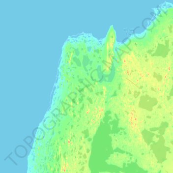
Name: Rowley Island topographic map, elevation, terrain.
Location: Rowley Island, Nunavut, Kanada (69.00000 -79.28976 69.12030 -79.00000)
Average elevation: 15 m
Minimum elevation: -9 m
Maximum elevation: 94 m
Other topographic maps
Click on a map to view its topography, its elevation and its terrain.