
Lago Manitoba topographic map
Interactive map
Click on the map to display elevation.
About this map
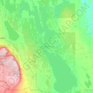
Name: Lago Manitoba topographic map, elevation, terrain.
Location: Lago Manitoba, Manitoba, Canadá (50.18425 -99.57635 51.80771 -97.94669)
Average elevation: 298 m
Minimum elevation: 219 m
Maximum elevation: 749 m
Other topographic maps
Click on a map to view its topography, its elevation and its terrain.
Fort Rouge–East Fort Garry
Fort Rouge–East Fort Garry, Winnipeg, Manitoba, Canadá
Average elevation: 234 m