
العريش topographic map
Interactive map
Click on the map to display elevation.
About this map
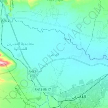
Name: العريش topographic map, elevation, terrain.
Location: العريش, معتمدية القصرين الشمالية, Kasserine, Tunisia (35.17111 8.75344 35.24539 8.87672)
Average elevation: 669 m
Minimum elevation: 614 m
Maximum elevation: 1,102 m
Other topographic maps
Click on a map to view its topography, its elevation and its terrain.