Geolocate

Rwekigyera topographic map

Interactive map

Click on the map to display elevation.

About this map

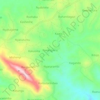
Name: Rwekigyera topographic map, elevation, terrain.

Location: Rwekigyera, Rukungiri, Western Region, Uganda (-0.88711 29.89976 -0.84711 29.93976)

Average elevation: 1,557 m

Minimum elevation: 1,430 m

Maximum elevation: 1,764 m

Other topographic maps

Click on a map to view its topography, its elevation and its terrain.

Nyakabungo

Uganda > Rukungiri

Nyakabungo, Rukungiri, Western Region, Uganda

Average elevation: 1,495 m

Rwerere

Uganda > Rukungiri > Rwerere

Rwerere, Rukungiri, Western Region, Uganda

Average elevation: 1,442 m

Nyabitete

Uganda > Rukungiri > Nyabitete

Nyabitete, Rukungiri, Western Region, Uganda

Average elevation: 1,555 m

Ntungwe

Uganda > Rukungiri

Ntungwe, Rukungiri, Western Region, Uganda

Average elevation: 1,236 m