
Thank you for supporting this site ❤️
Make a donation
Make a donation
Gear up for your next adventure:
As an Amazon Associate, this site earns from qualifying purchases at no extra cost to you.
ONL topographic map
Click on the map to display elevation.
Thank you for supporting this site ❤️
Make a donation
Make a donation
Gear up for your next adventure:
As an Amazon Associate, this site earns from qualifying purchases at no extra cost to you.
About this map
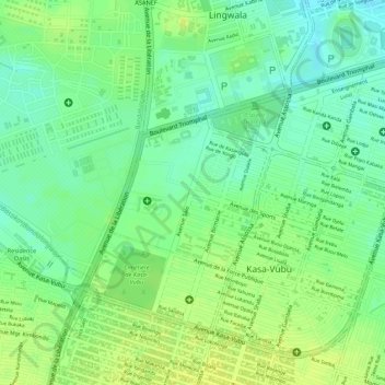
Name: ONL topographic map, elevation, terrain.
Location: ONL, Kasa-Vubu, Kinshasa, Democratic Republic of the Congo (-4.34663 15.29371 -4.33568 15.30511)
Average elevation: 293 m
Minimum elevation: 282 m
Maximum elevation: 300 m
Thank you for supporting this site ❤️
Make a donation
Make a donation
Gear up for your next adventure:
As an Amazon Associate, this site earns from qualifying purchases at no extra cost to you.
Other topographic maps
Click on a map to view its topography, its elevation and its terrain.
Parc Naturel de la Nsele (Mangiers)
Democratic Republic of the Congo > Kinshasa
Average elevation: 276 m