
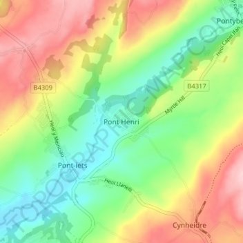
Pont Henri topographic map
Interactive map
Click on the map to display elevation.
About this map
Name: Pont Henri topographic map, elevation, terrain.
Location: Pont Henri, Carmarthenshire, Wales, SA15 5PS, United Kingdom (51.74156 -4.22564 51.78156 -4.18564)
Average elevation: 91 m
Minimum elevation: 5 m
Maximum elevation: 207 m
Carmarthenshire trails, hiking, mountain biking, running and outdoor activities
Other topographic maps
Click on a map to view its topography, its elevation and its terrain.
National Botanic Garden of Wales
United Kingdom > Wales > Carmarthenshire > Llanarthney
Average elevation: 90 m