
Troll tongue topographic map
Interactive map
Click on the map to display elevation.
About this map
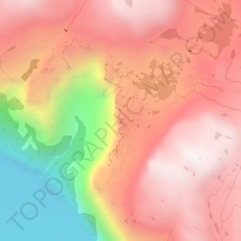
Name: Troll tongue topographic map, elevation, terrain.
Location: Troll tongue, Ullensvang, Vestland, Norway (60.13290 6.75399 60.13300 6.75409)
Average elevation: 1,091 m
Minimum elevation: 447 m
Maximum elevation: 1,469 m
The hike from the parking area to Trolltunga and back again is a 27-kilometre (17 mi) round-trip distance with a 1,100-metre (3,600 ft) gain in elevation, and it takes approximately 10–12 hours, including breaks.
Other topographic maps
Click on a map to view its topography, its elevation and its terrain.
Kinn
Norway > Vestland > Rognaldsvåg
Kinn, Rognaldsvåg, Kinn, Vestland, 6912, Norway
Average elevation: 23 m