
Hare Hatch topographic map
Interactive map
Click on the map to display elevation.
About this map
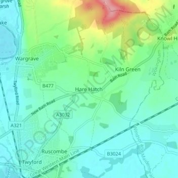
Name: Hare Hatch topographic map, elevation, terrain.
Average elevation: 56 m
Minimum elevation: 30 m
Maximum elevation: 142 m
Borough of Wokingham trails, hiking, mountain biking, running and outdoor activities
Other topographic maps
Click on a map to view its topography, its elevation and its terrain.
Finchampstead Ridges
United Kingdom > England > Borough of Wokingham > Finchampstead
Average elevation: 72 m