
Al Fasher topographic map
Interactive map
Click on the map to display elevation.
About this map
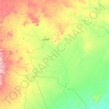
Name: Al Fasher topographic map, elevation, terrain.
Location: Al Fasher, North Darfur State, Sudan (12.49792 24.43959 14.20234 26.40092)
Average elevation: 784 m
Minimum elevation: 526 m
Maximum elevation: 1,684 m
Other topographic maps
Click on a map to view its topography, its elevation and its terrain.