
Loch Katrine topographic map
Interactive map
Click on the map to display elevation.
About this map
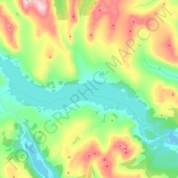
Name: Loch Katrine topographic map, elevation, terrain.
Location: Loch Katrine, Stirling, Scotland, United Kingdom (56.22909 -4.61623 56.28613 -4.42913)
Average elevation: 349 m
Minimum elevation: 83 m
Maximum elevation: 857 m
Stirling trails, hiking, mountain biking, running and outdoor activities
Other topographic maps
Click on a map to view its topography, its elevation and its terrain.
Ben A'an
United Kingdom > Scotland > Stirling
Ben A'an is a hill in the Trossachs in Scotland. The pointed peak of its west top (454 metres or 1,490 feet in elevation) resembles a small mountain.
Average elevation: 283 m