
Ulang topographic map
Interactive map
Click on the map to display elevation.
About this map
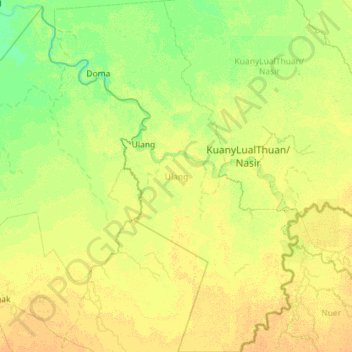
Name: Ulang topographic map, elevation, terrain.
Location: Ulang, Upper Nile, South Sudan (7.98787 32.41169 9.11584 33.21913)
Average elevation: 401 m
Minimum elevation: 393 m
Maximum elevation: 412 m
Other topographic maps
Click on a map to view its topography, its elevation and its terrain.