
Pamal topographic map
Interactive map
Click on the map to display elevation.
About this map
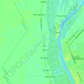
Name: Pamal topographic map, elevation, terrain.
Location: Pamal, Lelo, Upper Nile, South Sudan (9.51576 31.60752 9.59254 31.64861)
Average elevation: 393 m
Minimum elevation: 386 m
Maximum elevation: 401 m
Other topographic maps
Click on a map to view its topography, its elevation and its terrain.
Malakal
South Sudan > Upper Nile > Malakal
Malakal, Makal Shilluk Island, Upper Nile, South Sudan
Average elevation: 393 m
El Seriha
South Sudan > Upper Nile > El Seriha
El Seriha, Upper Nile, South Sudan
Average elevation: 437 m
White Nile
South Sudan > Upper Nile > Malakal
White Nile, Malakal, Upper Nile, South Sudan
Average elevation: 393 m