
宮田村 topographic map
Interactive map
Click on the map to display elevation.
About this map
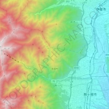
Name: 宮田村 topographic map, elevation, terrain.
Location: 宮田村, 上伊那郡, 長野県, 中部地方, 日本 (35.74499 137.80465 35.80788 137.96394)
Average elevation: 1,358 m
Minimum elevation: 559 m
Maximum elevation: 2,921 m
Other topographic maps
Click on a map to view its topography, its elevation and its terrain.