
大門山 topographic map
Interactive map
Click on the map to display elevation.
About this map
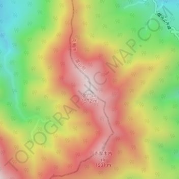
Name: 大門山 topographic map, elevation, terrain.
Location: 大門山, 金沢市, 石川県, 日本 (36.36518 136.80363 36.36528 136.80373)
Average elevation: 1,175 m
Minimum elevation: 757 m
Maximum elevation: 1,544 m
大門山(だいもんざん)は、両白山地北部の石川県金沢市と富山県南砺市との県境にある標高1,572 mの山。別名が「加賀富士」。
Other topographic maps
Click on a map to view its topography, its elevation and its terrain.