
犀川湖 topographic map
Interactive map
Click on the map to display elevation.
About this map
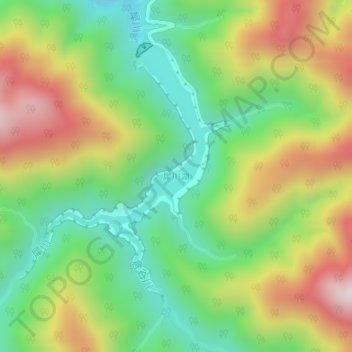
Name: 犀川湖 topographic map, elevation, terrain.
Location: 犀川湖, 金沢市, 石川県, 日本 (36.41098 136.73723 36.43112 136.75308)
Average elevation: 542 m
Minimum elevation: 272 m
Maximum elevation: 920 m
Other topographic maps
Click on a map to view its topography, its elevation and its terrain.