
Central Flacq topographic map
Interactive map
Click on the map to display elevation.
About this map
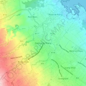
Name: Central Flacq topographic map, elevation, terrain.
Location: Central Flacq, Flacq, 40606, Mauritius (-20.23489 57.68297 -20.15489 57.76297)
Average elevation: 72 m
Minimum elevation: -1 m
Maximum elevation: 217 m
Other topographic maps
Click on a map to view its topography, its elevation and its terrain.