
Igbodo topographic map
Interactive map
Click on the map to display elevation.
About this map
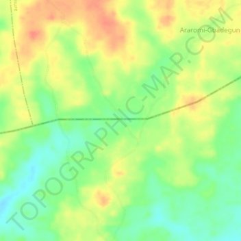
Name: Igbodo topographic map, elevation, terrain.
Location: Igbodo, Ondo State, Nigeria (7.28150 5.44870 7.32150 5.48870)
Average elevation: 343 m
Minimum elevation: 319 m
Maximum elevation: 366 m
Other topographic maps
Click on a map to view its topography, its elevation and its terrain.
Oluji
Nigeria > Ondo State > Ile Oluji/Okeigbo
Oluji, Ile Oluji/Okeigbo, Ondo State, Nigeria
Average elevation: 261 m