
Skjettenbyen topographic map
Interactive map
Click on the map to display elevation.
About this map
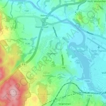
Name: Skjettenbyen topographic map, elevation, terrain.
Location: Skjettenbyen, Lillestrøm, Viken, 2013, Norway (59.94757 10.98130 59.98757 11.02130)
Average elevation: 147 m
Minimum elevation: 98 m
Maximum elevation: 292 m
Other topographic maps
Click on a map to view its topography, its elevation and its terrain.