
Nannestad topographic map
Interactive map
Click on the map to display elevation.
About this map
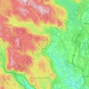
Name: Nannestad topographic map, elevation, terrain.
Location: Nannestad, Viken, Norway (60.10629 10.77203 60.34669 11.12920)
Average elevation: 331 m
Minimum elevation: 111 m
Maximum elevation: 730 m
Other topographic maps
Click on a map to view its topography, its elevation and its terrain.