
Ale Bagu topographic map
Interactive map
Click on the map to display elevation.
About this map
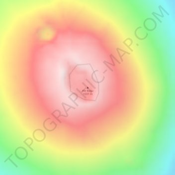
Name: Ale Bagu topographic map, elevation, terrain.
Location: Ale Bagu, Zone 2, Afar, Éthiopie (13.50765 40.63281 13.50775 40.63291)
Average elevation: 772 m
Minimum elevation: 409 m
Maximum elevation: 1,009 m
Other topographic maps
Click on a map to view its topography, its elevation and its terrain.
Danakil Depression
Danakil Depression, Zone 2, Afar, Éthiopie
Average elevation: -105 m
Yangudi Rassa National Park
Yangudi Rassa National Park, 18, Zone 3, Afar, Éthiopie
Average elevation: 622 m