
Gunung Lawu topographic map
Interactive map
Click on the map to display elevation.
About this map
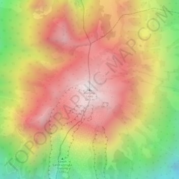
Name: Gunung Lawu topographic map, elevation, terrain.
Average elevation: 2,881 m
Minimum elevation: 2,346 m
Maximum elevation: 3,238 m
Other topographic maps
Click on a map to view its topography, its elevation and its terrain.
Bayemtaman
Indonesia > East Java > Magetan
Bayemtaman, Magetan, East Java, Java, 63395, Indonesia
Average elevation: 62 m