
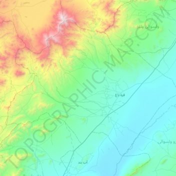
Qarabagh topographic map
Interactive map
Click on the map to display elevation.
About this map
Name: Qarabagh topographic map, elevation, terrain.
Location: Qarabagh, Ghazni Province, Afghanistan (33.00216 67.67489 33.43303 68.33990)
Average elevation: 2,525 m
Minimum elevation: 2,023 m
Maximum elevation: 4,564 m
Other topographic maps
Click on a map to view its topography, its elevation and its terrain.
Walīdād
Afghanistan > Ghazni Province > Qarabagh > Qarabagh
Walīdād, Qarabagh, Ghazni Province, Afghanistan
Average elevation: 2,097 m