
Nawa topographic map
Interactive map
Click on the map to display elevation.
About this map
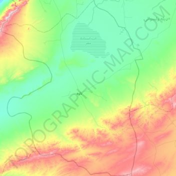
Name: Nawa topographic map, elevation, terrain.
Location: Nawa, Ghazni Province, Afghanistan (32.07582 67.61141 32.59602 68.10923)
Average elevation: 2,130 m
Minimum elevation: 1,928 m
Maximum elevation: 2,636 m
Other topographic maps
Click on a map to view its topography, its elevation and its terrain.