
Malestan topographic map
Interactive map
Click on the map to display elevation.
About this map
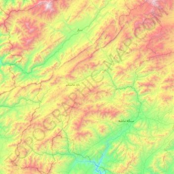
Name: Malestan topographic map, elevation, terrain.
Location: Malestan, Ghazni Province, Afghanistan (32.91321 66.85760 33.64817 67.62305)
Average elevation: 3,060 m
Minimum elevation: 1,985 m
Maximum elevation: 4,783 m
Other topographic maps
Click on a map to view its topography, its elevation and its terrain.