
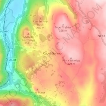
Capel Garmon topographic map
Interactive map
Click on the map to display elevation.
About this map
Name: Capel Garmon topographic map, elevation, terrain.
Location: Capel Garmon, Conwy, Wales, LL26 0RW, United Kingdom (53.06311 -3.78936 53.10311 -3.74936)
Average elevation: 204 m
Minimum elevation: 9 m
Maximum elevation: 342 m
Conwy trails, hiking, mountain biking, running and outdoor activities
Other topographic maps
Click on a map to view its topography, its elevation and its terrain.