
Llyn Alwen topographic map
Interactive map
Click on the map to display elevation.
About this map
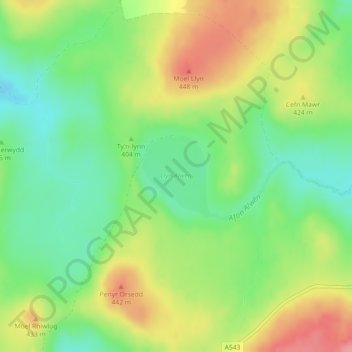
Name: Llyn Alwen topographic map, elevation, terrain.
Location: Llyn Alwen, Pentrefoelas, Conwy, Wales, United Kingdom (53.09110 -3.65175 53.09741 -3.64320)
Average elevation: 400 m
Minimum elevation: 358 m
Maximum elevation: 454 m
Conwy trails, hiking, mountain biking, running and outdoor activities
Other topographic maps
Click on a map to view its topography, its elevation and its terrain.
Gwyrch Castle Northern Towers
United Kingdom > Wales > Conwy > Llanddulas > Terfyn
Average elevation: 54 m