
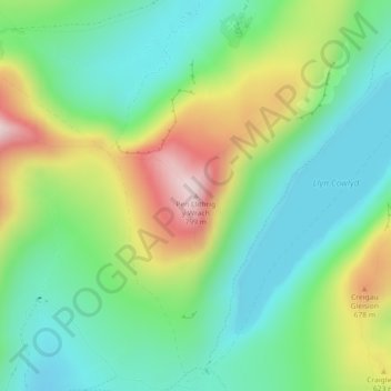
Pen Llithrig y wrach topographic map
Interactive map
Click on the map to display elevation.
About this map
Name: Pen Llithrig y wrach topographic map, elevation, terrain.
Location: Pen Llithrig y wrach, Conwy, Wales, LL24 0EU, United Kingdom (53.14220 -3.92083 53.14230 -3.92073)
Average elevation: 501 m
Minimum elevation: 354 m
Maximum elevation: 791 m
Conwy trails, hiking, mountain biking, running and outdoor activities
Other topographic maps
Click on a map to view its topography, its elevation and its terrain.