
Wonsan topographic map
Interactive map
Click on the map to display elevation.
About this map
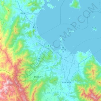
Name: Wonsan topographic map, elevation, terrain.
Location: Wonsan, Kangwon, North Korea (39.01559 127.22061 39.29339 127.67873)
Average elevation: 210 m
Minimum elevation: 0 m
Maximum elevation: 1,353 m
Other topographic maps
Click on a map to view its topography, its elevation and its terrain.