
Dong-gu topographic map
Interactive map
Click on the map to display elevation.
About this map
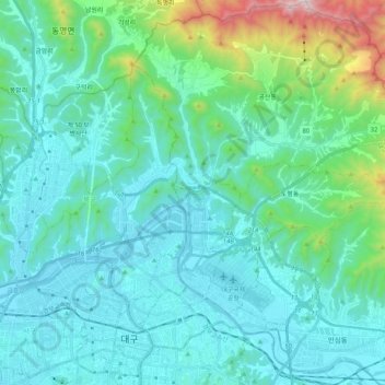
Name: Dong-gu topographic map, elevation, terrain.
Location: Dong-gu, Daegu, South Korea (35.85119 128.60378 36.01649 128.76240)
Average elevation: 195 m
Minimum elevation: 16 m
Maximum elevation: 1,169 m
Other topographic maps
Click on a map to view its topography, its elevation and its terrain.