Geolocate

Jung-gu topographic map

Interactive map

Click on the map to display elevation.

About this map

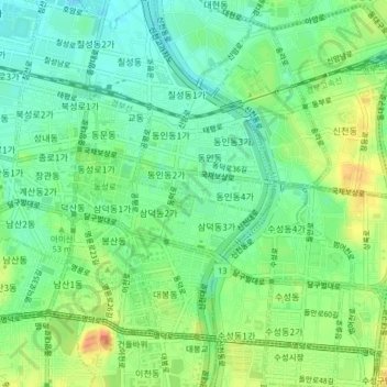
Name: Jung-gu topographic map, elevation, terrain.

Location: Jung-gu, Daegu, South Korea (35.85492 128.57378 35.87953 128.61424)

Average elevation: 50 m

Minimum elevation: 32 m

Maximum elevation: 78 m

Other topographic maps

Click on a map to view its topography, its elevation and its terrain.

Pyeongni 6(yuk)-dong

South Korea > Daegu

Pyeongni 6(yuk)-dong, Seo-gu, Daegu, 41761, South Korea

Average elevation: 37 m

Jung-dong

South Korea > Daegu

Jung-dong, Suseong-gu, Daegu, South Korea

Average elevation: 66 m

Dong-gu

South Korea > Daegu

Dong-gu, Daegu, South Korea

Average elevation: 195 m

Daegu

South Korea > Daegu

Jijeodong, Dong-gu, Daegu, South Korea

Average elevation: 38 m