
Jung-dong topographic map
Interactive map
Click on the map to display elevation.
About this map
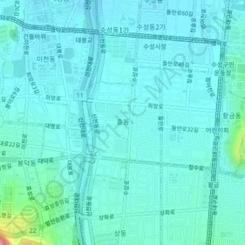
Name: Jung-dong topographic map, elevation, terrain.
Location: Jung-dong, Suseong-gu, Daegu, South Korea (35.83869 128.60668 35.85112 128.61679)
Average elevation: 66 m
Minimum elevation: 49 m
Maximum elevation: 178 m
Other topographic maps
Click on a map to view its topography, its elevation and its terrain.